 The wet June just completed and the heavy rains that have inundated the area in early July are creating headaches for the City of Lowell.
Most immediate for residents and neighbors from surrounding towns is the 4th of July forecast, which at press time calls for a better than 50% chance of rain beginning around 9pm tonight through Midnight. While precipitation continues to be a possibility in the morning hours, the threat is heightened between Noon and 4pm tomorrow, with the Weather Channel pegging the threat of scattered thundershowers close to 80%, before the wet stuff is expected to give way to clouds after 5pm.
 Naturally, that has folks wondering about Lowell’s 4th of July fireworks and festivities, with City Manager Tom Golden telling InsideLowell “that call will be made tomorrow.”
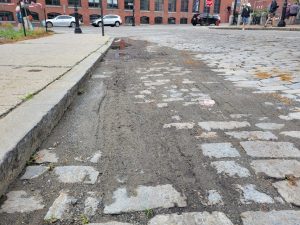
Manager Golden also touched on a couple of other issues Mother Nature is causing. He noted that last Friday, June 30, street sweeping crews cleaned up “44-tons of dirt and debris off city roads,” a number Golden indicated is far above the normal daily haul.
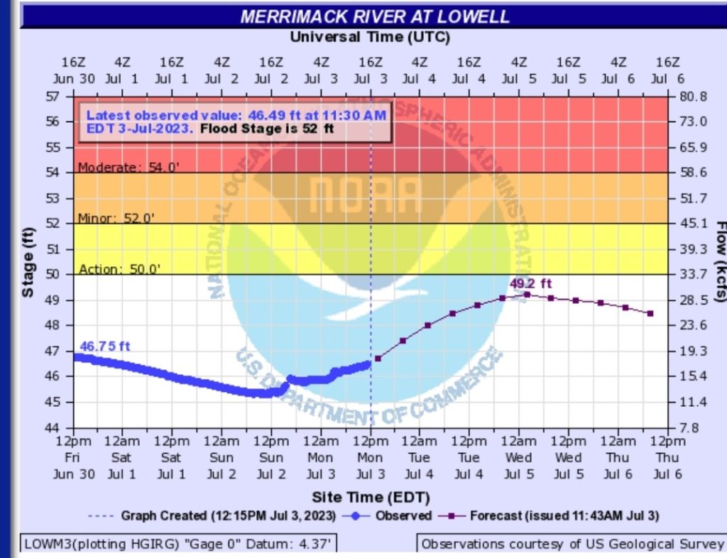
The other concern City Officials are keeping an eye on is the Merrimack River, which is expected to crest at 49.2 feet sometime between Midnight and Noon Wednesday. The graph below shows that at 50-feet, officials shift from “monitoring the situation” to the “Action” phase. At 52-feet, minor flooding begins to kick in.

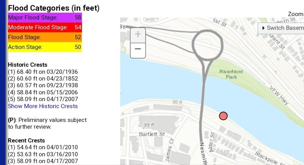
Current projections keep us below those levels, but Golden indicated officials will “closely monitor the situation upstream, in case water needs to be released in New Hampshire.” (the graph at the bottom of this story puts the Merrimack’s “crest levels” in some historical context)
Naturally, you’ll want to continue monitoring the city’s Facebook and Twitter pages for any new developments, particularly surrounding the 4th of July Fireworks show and Merrimack water levels. And of course, follow us as well here at InsideLowell for all the latest developments.


